Sbírka grafik a map
Sbírka
Úvod
Úvod
Grafiky
Grafiky
Mapy
Mapy
Celá sbírka
Sbírka
cs
en
←
Mapy
/
12
⊕ Zvětšit
Soukromá sbírka · Staré mapy
·
Inv. č. 12
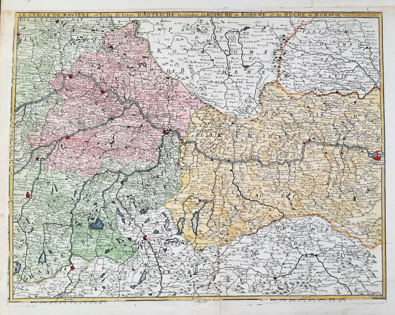
„Le Cercle de Baviere, et Partie de Celuy d'Autriche les Confins du Royaume de Boheme et du Duche de Moravie"
Autor
Nicolas de Fer
Rok
1703
Technika
Copperplate engraving, period hand-coloring
Rozměry listu
65 × 53,5 cm
Stav
Upper outer margin retouched, partly backed along the centre fold, otherwise good. A rare map.